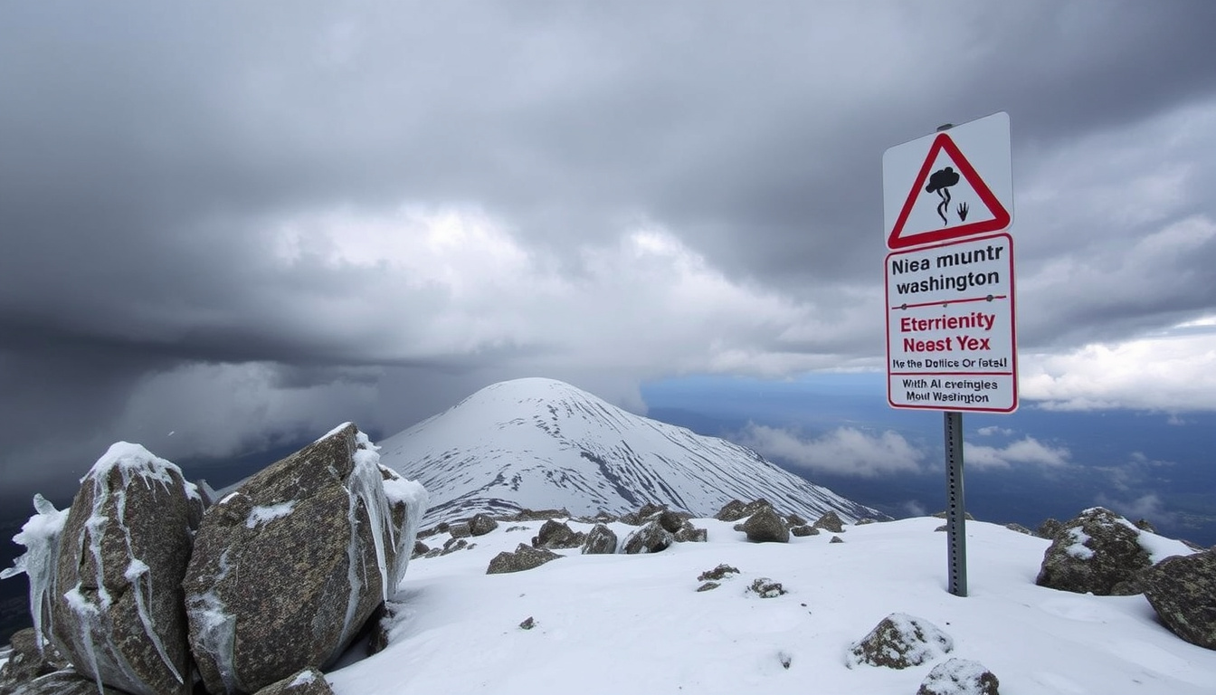
There’s a mountain in New Hampshire that regularly makes headlines not for its height, but for the sheer violence of its weather. Mount Washington, the Northeast’s highest peak at 6,288 feet, holds the world record for the fastest wind gust ever measured at the surface: 231 miles per hour.
Elevation: 6,288 ft (1,917 m) ·
Highest recorded wind gust: 231 mph (372 km/h) ·
Lowest recorded temperature: -43.9°F (-42.2°C) ·
First recorded ascent: 1642 (Darby Field) ·
Annual visitors (summit access): Over 300,000
Quick snapshot
- World record wind gust: 231 mph on April 12, 1934 (Mount Washington Observatory)
- Lowest temperature: -43.9°F on January 16, 2004 (Mount Washington Observatory)
- Elevation: 6,288 ft per USGS datum (U.S. Geological Survey)
- Exact death count is debated; estimates exceed 160 but lack a single verified tally (Mount Washington Observatory)
- No formal study confirms beginner success rates on easy trails (NH State Parks)
- 1642: First recorded ascent by Darby Field
- 1869: Cog Railway opens
- 1932: Observatory founded
- 1934: 231 mph gust recorded
- Summer 2025 visitor numbers expected to remain high; early booking recommended for Auto Road and Cog Railway (Mount Washington Auto Road)
- New safety signage and weather kiosks being installed on popular trails (NH State Parks)
These four categories capture what is known, unknown, and pending about the mountain.
| Attribute | Value |
|---|---|
| Elevation | 6,288 ft (1,917 m) |
| First recorded ascent | 1642 by Darby Field |
| Highest wind gust | 231 mph (372 km/h) – April 12, 1934 |
| Lowest temperature | -43.9°F (-42.2°C) – January 16, 2004 |
| Annual visitation (all access) | Over 300,000 |
| Deaths since 1849 | Over 160 |
The data shows a place of extremes, where records and risks coexist.
Can a beginner climb Mount Washington?
Mount Washington isn’t Everest, but it demands respect. For a first-time hiker in good shape with proper gear and a clear summer forecast, the answer is yes — with careful planning. The key is choosing the right trail and knowing when to turn back.
Difficulty levels of Mount Washington trails
- Tuckerman Ravine Trail (8.4 miles round trip): Moderate in summer, but steep and rocky sections. Rated moderate to strenuous.
- Lion Head Trail (8.0 miles round trip): Often recommended for beginners when dry. Scrambling sections require care.
- Jewell Trail (9.2 miles round trip): Longer but more gradual, good for less experienced hikers.
The Mount Washington Observatory (nonprofit research organization) warns that rain makes even easy trails dangerously slick. Beginners should aim for a multi-day window with stable high pressure.
Recommended training for beginners
Before your climb, build leg strength with stair-climbing or hill hikes while carrying a daypack. Practice navigating with a map and compass — fog can drop visibility below 100 feet even in midsummer. The Backpacker (leading outdoor magazine) recommends comparing at least three specialized forecasts: the Observatory’s Higher Summits Forecast, NOAA, and Mountain Forecast.
Many beginners underestimate how quickly weather changes above treeline. A sunny 70°F day in Pinkham Notch can become a 40°F fog with 50 mph gusts at the summit. If the Higher Summits Forecast shows any chance of thunderstorms or sustained winds above 40 mph, postpone. The mountain isn’t going anywhere.
Guided climbs and group options
- Eastern Mountain Sports (EMS) Guides offer group climbs for beginners, typically June–September. Cost ~$150/person.
- Mount Washington Observatory Education Program runs weather-focused day trips.
- Self-guided with the Auto Road: You can drive to the summit and hike a short loop, skipping the strenuous ascent.
How many climbers have died on Mount Washington?
Since 1849, more than 160 people have died on Mount Washington, according to the Mount Washington Observatory (nonprofit research organization). Relative to the estimated 300,000+ annual visitors, the number is low, but the causes reveal patterns that every hiker should know.
Official statistics and sources
- 160+ deaths — cumulative count from historical records, not a single official registry. The figure is cited by the Observatory and NH State Parks.
- Deaths are not tracked in a unified database; different sources (newspapers, park reports, rescue logs) produce slightly different numbers.
Common causes of fatalities
- Hypothermia (leading cause, especially in shoulder seasons)
- Falls on icy or rocky terrain
- Cardiac events during strenuous climbs
- Lightning strikes (rare but deadly above treeline)
Winter months account for a disproportionate share of deaths. The Observatory’s data shows that average mid-winter weather — 5°F, 50 mph winds, wind chill near -25°F — can kill an unprepared hiker within hours.
Seasonal trends
Most fatalities occur in winter and early spring, when ice and snow persist. However, summer deaths happen too, often from falls on wet rocks or heart attacks during sudden exertion. Backpacker (outdoor magazine) reports that many victims were experienced hikers who made a single bad decision — usually ignoring a forecast.
What this means: the mountain’s danger is predictable. If you check the Higher Summits Forecast, pack proper layers, and respect the turnaround time, your odds of a safe climb are excellent.
What is the windiest mountain in the world?
Mount Washington holds the official world record for the highest wind gust ever measured at the Earth’s surface: 231 mph, recorded on April 12, 1934, by the Mount Washington Observatory (nonprofit research organization). No other mountain has a reliably measured gust that beats that number.
Wind speed records on Mount Washington
- 231 mph — April 12, 1934 (world record)
- 182 mph — February 19, 1940 (second highest)
- 136 mph — June 1941 (highest June gust)
- 154 mph — July 1996 (highest July gust)
How it compares to other peaks
Mount Washington’s winds are extreme because of its position in the path of the jet stream and the funneling effect of the Presidential Range. Wikipedia (user-curated encyclopedia) notes that while other mountains like Mount Everest or Mount McKinley have stronger winds at higher altitudes, no surface-level measurement has surpassed 231 mph. The mountain is often called “the home of the world’s worst weather.”
Why the wind is so extreme
- Jet stream interaction: Mount Washington sits near the average winter jet stream position.
- Topographic funneling: northwesterly winds accelerate over the summit ridge.
- Low friction: above treeline, wind encounters little resistance.
The trade-off: you don’t need to fear 231 mph winds on a summer hike — those gusts are rare even in winter. But a 70 mph gust on an average August day is enough to knock a person off balance. The Observatory says hurricane-force gusts are possible any month.
What is Mount Washington famous for?
Mount Washington is famous for three things that overlap: extreme weather, historic visitor infrastructure, and being the highest peak in the Northeast. The Mount Washington Observatory (nonprofit research organization) calls it a “natural laboratory for high-altitude meteorology.”
Extreme weather records
- Highest recorded wind gust: 231 mph
- Lowest temperature: -43.9°F
- Average winter wind chill: often below -25°F
- Thick fog on ~90% of summer days
Mount Washington Observatory
Founded in 1932, the Observatory is a non-profit research institution that has continuously recorded weather data at the summit. Its scientists conduct studies on cloud physics, climate change, and extreme weather. Mount Washington Observatory (research organization) also provides the Higher Summits Forecast, the gold standard for hikers.
Auto Road and Cog Railway
- Mount Washington Auto Road (opened 1861): 7.6-mile paved road to the summit. You can drive your own car ($45 toll) or take a guided tour.
- Mount Washington Cog Railway (opened 1869): First mountain-climbing railway in the world. Steam and biodiesel trains reach the summit in about 3 hours round-trip.
Historical significance
First recorded ascent by Darby Field in 1642. The summit hotel, the Tip-Top House, dates from 1853 and is still standing. The mountain is a National Natural Landmark. NH State Parks (government agency) manages the summit area as Mount Washington State Park.
Why this matters: you don’t have to be a hardcore hiker to experience the summit. The Auto Road and Cog Railway make extreme weather accessible to anyone, which is both a blessing and a safety challenge.
What is the coldest temperature on Mount Washington?
The lowest temperature ever recorded on Mount Washington is -43.9°F (-42.2°C), set on January 16, 2004, according to the Mount Washington Observatory (nonprofit research organization). That’s cold enough to cause frostbite on exposed skin in under five minutes.
Record cold temperature
- Record low: -43.9°F
- Date: January 16, 2004
- Wind chill at the time: estimated below -70°F
Average winter temperatures
Winter on the summit runs from mid-October through mid-May. Average mid-winter daily high is about 5°F. Overnight lows average -5°F to -10°F. Mount Washington Observatory (research organization) notes that temperatures as low as -45°F with winds over 100 mph are not uncommon in extreme events.
Wind chill effects
The combination of cold and wind creates dangerous wind chills. A day with 5°F air temperature and 50 mph gusts produces a wind chill around -25°F. In extreme cases, wind chill can drop below -100°F, making any exposed skin freeze instantly.
The pattern: winter on Mount Washington is not a place for novices. Even in summer, freezing temperatures can occur any month. The Observatory advises hikers to always carry extra layers, even in July.
Why do hikers eat gummy bears?
Mount Washington hikers, like long-distance hikers everywhere, often pack gummy bears as a quick energy source. The simple sugars in gummy bears are digested rapidly, providing glucose to working muscles when blood sugar drops. Backpacker (outdoor magazine) recommends bringing plenty of food and water on any Mount Washington hike.
Energy needs during long climbs
- A moderate-paced ascent of Tuckerman Ravine trail burns 1,500–2,000 calories (600–800 per hour).
- The body relies on glycogen stores for the first 60–90 minutes, then needs refueling.
- Gummy bears provide ~30 grams of sugar per serving — a near-instant glucose source.
Quick-digesting carbohydrates
Endurance athletes and hikers use the term “bonking” to describe glycogen depletion. Gummy bears are a classic “Type 1” carbohydrate — fast absorption, minimal digestion effort. They’re also lightweight, durable, and don’t melt like chocolate.
Alternative snacks for hiking
- Trail mix (fats + protein + carbs)
- Energy chews or gels
- Bananas, dried fruit, granola bars
- Nut butter packets
Upsides of climbing Mount Washington
- Accessible summit with multiple routes for different abilities
- World-class weather education at the Summit Museum
- Stunning views on clear days (rare but unforgettable)
- Historic Auto Road and Cog Railway for non-hikers
- Strong community of guided climbs and rescue services
Downsides of climbing Mount Washington
- Extreme, unpredictable weather year-round
- High physical demand on steep trails
- Over 160 recorded deaths — real, but rare given visitor numbers
- Crowded summit in summer (300k+ annual visitors)
- Expensive if using Auto Road ($45/car) or Cog Railway ($75+/adult)
How to prepare for a Mount Washington hike (step by step)
Follow these steps to plan a safe climb, whether you’re a first-time beginner or a veteran looking for a refresher.
- Step 1: Check the weather — Use the Mount Washington Observatory Higher Summits Forecast (updated twice daily). Cross-check with NOAA Point Forecast and Mountain Forecast. Read recent trip reports on New England Trail Conditions for real-time trail photos.
- Step 2: Choose your trail — Beginner (summer): Jewell Trail (gradual, 9.2 miles round trip). Intermediate (summer): Tuckerman Ravine Trail (steeper, 8.4 miles). Winter: Only for experienced mountaineers with crampons and ice axe.
- Step 3: Pack your gear — The Mount Washington Observatory (nonprofit research organization) recommends: wool/synthetic base layers, fleece mid-layer, waterproof shell, wool hat, gloves, extra socks, map, compass, headlamp, first aid kit, at least 2 liters of water, and high-energy food (including gummy bears). Never rely on cotton.
- Step 4: Start early and follow the 2 PM rule — Begin your ascent by 7:00 AM to allow time before afternoon thunderstorms. 2 PM rule: If you haven’t reached the summit by 2 PM, turn around regardless of how close you are. Afternoon weather deteriorates fast.
- Step 5: Tell someone your plan — Leave your itinerary with a friend or family member. Sign the backcountry register at trailheads if available. The NH State Parks (government agency) emphasizes that rescue resources are limited and response times can be long in bad weather.
Bottom line: A beginner can safely climb Mount Washington in summer with the right preparation. For first-timers: choose a guided climb or the Jewell Trail, check the Higher Summits Forecast, pack for winter conditions even in July, and always respect the 2 PM turnaround. The mountain demands that experienced hikers follow the same rules — it doesn’t care about credentials.
Mount Washington is simultaneously one of the most accessible high peaks in America (drive to the summit!) and one of the most dangerous. The accessibility lures unprepared visitors into an environment that can kill in under an hour. The Observatory’s advice: treat every visit like a winter expedition, no matter the season.
Quotes from experts and survivors
“Mount Washington’s weather is notoriously unpredictable. Even in summer, conditions can change from pleasant to life-threatening in minutes. The key is to never let your guard down.”
— Spokesperson, Mount Washington Observatory
“The biggest mistake hikers make is underestimating the weather. They see a sunny forecast in the valley and assume it will be the same at the summit. It rarely is.”
— NH State Parks official, via New Hampshire Division of Parks and Recreation
“Mount Washington can kill you just as easily in July as in January. The difference is that in July, you have more hours of daylight to make a mistake.”
— Backpacker magazine, ‘Mount Washington Can Kill’ (2018)
Summary
Mount Washington is a place where extremes meet accessibility. It offers a world-record wind gust, bone-chilling cold, and life-changing views — all within a few hours’ drive of millions of people. But that very accessibility creates a trap for the unprepared. For the hiker willing to check forecasts, pack properly, and respect the mountain’s rules, it’s an unforgettable experience. For the hiker who wings it, it can be a final one. The choice is yours, and the data is clear: plan for the worst, and you’ll almost certainly enjoy the best.
For the first-time climber in New Hampshire, the implication is clear: invest in a good forecast check, a solid gear list, and a conservative plan — or the mountain will choose for you.
visitmwv.com, mountwashington.org, en.wikipedia.org, wta.org, ihike.org, facebook.com, ihike.org, reddit.com, reddit.com, nhstateparks.org
Climbers should also consult a comprehensive resource on Mount Washington safety and difficulty to prepare for the mountain’s notorious weather.
Frequently asked questions
What is the best time of year to visit Mount Washington?
Late June through early September offers the mildest weather, though freezing temperatures are possible any month. Fall foliage is spectacular but brings colder, windier conditions. Winter is for experienced mountaineers only.
Do I need a reservation for the Auto Road or Cog Railway?
Reservations are strongly recommended in summer and fall. The Auto Road operates on a first-come, first-served basis for private vehicles during peak season, but guided tours often require advance booking.
What should I wear if I plan to hike Mount Washington in summer?
Wicking base layers (wool or synthetic), a fleece mid-layer, a waterproof shell, long pants, wool socks, and sturdy hiking boots. Always bring an extra insulating layer and a hat/gloves — even in August.
Is there a fee to enter Mount Washington State Park?
No entrance fee. However, parking fees apply at some trailheads. The Auto Road toll is $45 per car; the Cog Railway charges per ticket (adult prices start around $75).
Can I drive my own car up the Auto Road?
Yes. Private vehicles can drive the 7.6-mile road for a $45 toll. Vehicles must be in good condition, and drivers must sign a waiver. The road is open late May to mid-October, weather permitting.
How long does the Cog Railway ride take?
The round trip takes about 3 hours, including about an hour at the summit. The trains run from spring through fall, with limited winter service.
Are dogs allowed on the trails or summit?
Dogs are allowed on most trails but must be on a leash. They are not permitted in the summit building or on the Cog Railway. The Auto Road allows dogs inside vehicles.
What emergency services exist on the mountain?
The Mount Washington Volunteer Ski Patrol and local search-and-rescue teams operate year-round. The best prevention is self-rescue: carry a fully charged phone, tell someone your plan, and never rely on cell service (spotty at best).
Related stories





Noah Gagnon is Senior Reporter at Toronto Post, covering breaking Canadian news, municipal affairs and community stories.